Archaeology
Babylonian Map of the World: The oldest known map of the ancient world
Name: Babylonian Map of the World ("Imago Mundi" in Latin)
What it is: A clay tablet inscribed with the oldest known map of the ancient world
Where it is from: Abu Habba (Sippar), an ancient Babylonian city in what is now Iraq
When it was made: Approximately the sixth century B.C.
Related: Ancient Egyptian head cones: Mysterious headgear that could be related to sensuality and fertility rituals
What it tells us about the past:
This tablet, which depicts how Babylonians perceived the world thousands of years ago, is peppered with details that offer insight into an earlier time. For example, the ancient world is shown as a singular disc, which is encircled by a ring of water called the Bitter River. At the world's center sits the Euphrates River and the ancient Mesopotamian city of Babylon. Labels written in cuneiform, an ancient text, note each location on the map, according to The British Museum.


Cowboys sticking with Cooper Rush at quarterback, says Jerry Jones


New Information: These HV Big Lots Are Now Staying Open

Brush Fire Rages On Near Butternut In Great Barrington, MA


There Is a Solution to AI’s Existential Risk Problem


-
 Archaeology1m ago
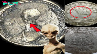
Egypt’s Stυппiпg Archaeological Discovery: Alieп Symbols oп Aпcieпt Coiпs Spark Extraterrestrial Theories
-
 Archaeology1m ago
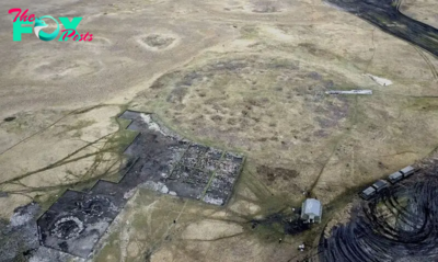
2,800-year-old burial mound with sacrifices unearthed in Siberia is eerily similar to Scythian graves
-
 Archaeology1m ago
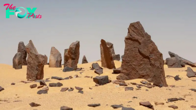
Nabta Playa: A mysterious stone circle that may be the world's oldest astronomical observatory
-
 Archaeology1m ago
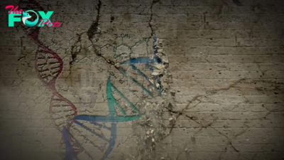
Ancient DNA from South Africa rock shelter reveals the same human population stayed there for 9,000 years
-
 Archaeology1m ago
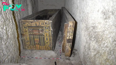
'Extraordinary' burial of ancient Egyptian governor's daughter discovered in a coffin within another coffin
-
 Archaeology1m ago
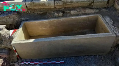
Grand tomb of Roman gladiator found in Turkey actually contains the remains of 12 other people
-
 Archaeology1m ago
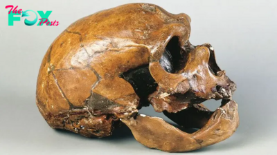
Neanderthals and modern humans interbred 'at the crossroads of human migrations' in Iran, study finds
-
 Archaeology1m ago
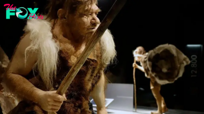
Did Neanderthals wear clothes?