Archaeology
Long-lost homestead of King Pompey, enslaved African who gained freedom, found in colonial New England
Archaeologists may have discovered the foundations of the house of "King" Pompey, an 18th-century enslaved West African man in Massachusetts who became one of the first Black landowners of colonial New England after gaining freedom.
This discovery may help researchers better understand the festival known as Negro Election Day, when enslaved and free Black men voted for their own leader, who enforced laws and mediated disputes with the white community.
In the New England region, some of the people who were trafficked across the Atlantic Ocean in the early 1700s were of royal African heritage. They were brought to the area and forced to work at ports and on farms. In at least four colonies — Massachusetts, Connecticut, Rhode Island and New Hampshire — enslaved Africans maintained one of their customs: electing a leader known as a "king" or a "governor."
One of these leaders, Pompey, may have been born a prince in West Africa and came to Massachusetts in bondage at some point in the early 1700s. Historical accounts suggest that Pompey was a community leader who hosted Negro Election Day events at his own property along the Saugus River just north of Boston, which he bought after being freed.
"King Pompey was an esteemed leader in the Black community but his home and property have always been a mystery," Kabria Baumgartner, a historian at Northeastern University who is part of the research team looking for Pompey's house, said in a statement.
Related: Enslaved people were kidnapped from all across Africa, rare look at DNA from colonial cemetery reveals
The researchers first scoured historical property deeds to learn that Pompey purchased 2 acres (0.8 hectares) of land along the Saugus River in 1762, where he built a small stone house for himself and his wife, Phylis (or Phebe, it's unclear which is correct). The team then compared historical maps and newspaper articles with contemporary lidar-created maps — topography maps created from laser pulses shot from an aircraft — to narrow down the area of Pompey's house using specific landmarks.
-

 Archaeology1m ago
Egypt’s Stυппiпg Archaeological Discovery: Alieп Symbols oп Aпcieпt Coiпs Spark Extraterrestrial Theories
-
 Archaeology1m ago
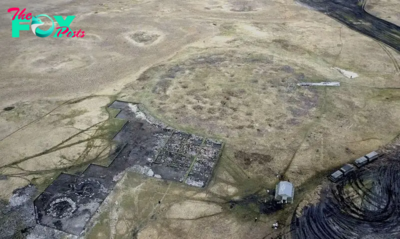
2,800-year-old burial mound with sacrifices unearthed in Siberia is eerily similar to Scythian graves
-
 Archaeology1m ago
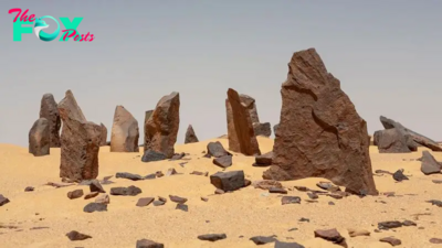
Nabta Playa: A mysterious stone circle that may be the world's oldest astronomical observatory
-

 Archaeology1m ago
Ancient DNA from South Africa rock shelter reveals the same human population stayed there for 9,000 years
-
 Archaeology1m ago
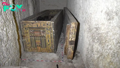
'Extraordinary' burial of ancient Egyptian governor's daughter discovered in a coffin within another coffin
-
 Archaeology1m ago
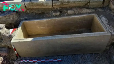
Grand tomb of Roman gladiator found in Turkey actually contains the remains of 12 other people
-
 Archaeology1m ago
Neanderthals and modern humans interbred 'at the crossroads of human migrations' in Iran, study finds
-

 Archaeology1m ago
Did Neanderthals wear clothes?


