Science
Earth from space: Trio of ringed ice caps look otherworldly on Russian Arctic islands
This stunning satellite image shows a trio of barren islands in the Russian Arctic, offering a rare glimpse at the colorful, concentric rings of the region's ever-present ice caps.
The Severnaya Zemlya archipelago is a collection of Russian-owned islands in the Arctic Ocean that cover around 14,300 square miles (37,000 square kilometers) — around the same size as Maryland — beyond Siberia's northernmost coastline. The archipelago sits along the boundary between the Kara Sea and the Laptev Sea and has four main landmasses: Komsomolets Island, Pioneer Island, October Revolution Island and Bolshevik Island.
The region was only discovered in 1913 and was not properly visited until a couple decades later, making it one of the last of Earth's major archipelagos to be properly mapped, according to Encyclopedia Britannica.
This photo shows the intersection between Komsomolets Island (center), Pioneer Island (left) and October Revolution Island (right), which are separated by just a few miles of ocean, according to NASA's Earth Observatory.
For most of the year, these islands are largely covered by ice and snow and are connected to one another by thick sea ice. But for around two months every summer, temperatures creep above freezing, enabling some of the frozen water to melt away, which exposes the barren landscape beneath. The only things that live there are lichens and a few bushes.
The thickest and oldest ice remains during the summer months, in the form of glaciers and hill-shaped ice caps that cover around half of the archipelago's surface.
Related: 12 amazing images of Earth from space


Mite Chan On Elevating Bespoke Florals at Gingermite


Hurting Luis Palma Makes Celtic Vow After Honduras Collapse

Euro 2024 ‘Keeper “Sad” After Celtic Move Didn’t Materialise

Mo Salah already back at the AXA with glimpse at Alisson recovery work


-

 Science2d ago
Inside Capitol Hill’s Latest UFO Hearings
-
 Science2d ago
You Won’t Want to Miss the Leonid Meteor Shower. Here’s How and When You Can See It
-

 Science3d ago
Here’s What Trump’s Win Means for NASA
-
 Science6d ago
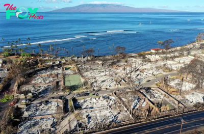
Why Risky Wildfire Zones Have Been Increasing Around the World
-
 Science6d ago
It’s Time to Redefine What a Megafire Is in the Climate Change Era
-
 Science1w ago
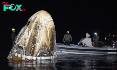
4 Astronauts Return to Earth After Being Delayed by Boeing’s Capsule Trouble and Hurricane Milton
-
 Science1w ago
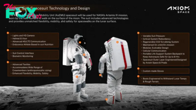
The Elegance and Awkwardness of NASA’s New Moon Suit, Designed by Axiom and Prada
-
 Science1w ago
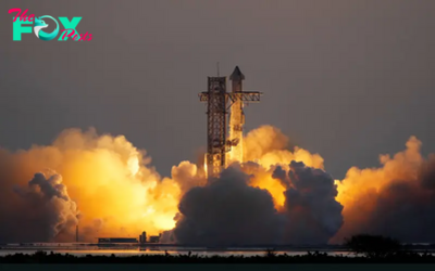
SpaceX Launches Its Mega Starship Rocket. This Time, Mechanical Arms Catch It at Landing