Science
Mount Everest is taller than it should be — and a weird river may be to blame
A "weird" river in the Himalayas may have pushed the peak of Mount Everest up by 164 feet (50 meters), scientists say.
According to a new study, a river roughly 46 miles (75 kilometers) from Everest was "captured" by another around 89,000 years ago. The erosion from this event carved away a huge gorge, leading to a loss of landmass that made the mountain experience a major growth spurt.
At 29,031.69 feet (8,848.86 m) above sea level, Mount Everest is Earth's highest peak on land. But it "is taller than it should be," study co-author Adam Smith, a researcher at University College London's Earth Sciences department, told Live Science in an email. In the Himalayas, the height difference between most mountain peaks is about 164 to 328 feet (50 to 100 m). But Everest is 820 feet (250 m) higher than the next highest mountain, K2. "This perhaps hints that something interesting is going on," Smith said.
GPS data shows Everest is growing at a rate of around 0.08 inches (2 millimeters) per year, which is higher than the expected rate of uplift for the mountain range. To find out the root cause, the researchers looked at whether the Himalayas' unusual rivers could be driving the rise.
"The Arun River is weird, as it flows in an L shape," Smith said. "Most rivers resemble trees, with a relatively straight trunk, and branches (tributaries) flowing into the trunk. However, the Arun flows E-W [east to west] along its upstream portion, before turning 90 degrees and flowing south through the Himalayas. This hints that perhaps the river has recently changed its form, and has maybe 'captured' another river."
Related: Boiling rocks from Earth's crust tore an ocean into Mongolia 410 million years ago
For the study, published Monday (Sept. 30) in the journal Nature GeoScience, the researchers used numerical models to simulate how the Kosi River network — which flows through China, Nepal and India — evolved over time. They then compared their models with the existing topography to work out which simulation fitted best.


Vegas Golden Knights at Toronto Maple Leafs odds, picks and predictions

Buffalo Sabres at LA Kings odds, picks and predictions

NBA DFS FanDuel Main Slate Picks and Lineup 11/21/24

Best NBA PrizePicks Plays for 11/21/24

Palestra WEEM – Mulheres Médicas e o Poder da Comunicação

Report: Celtic’s Lennon Miller Scouting Mission

Celtic’s Wednesday Night Christmas Tease


-

 Science2d ago
Inside Capitol Hill’s Latest UFO Hearings
-
 Science2d ago
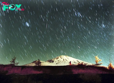
You Won’t Want to Miss the Leonid Meteor Shower. Here’s How and When You Can See It
-

 Science3d ago
Here’s What Trump’s Win Means for NASA
-
 Science6d ago
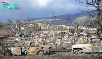
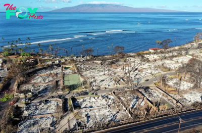
Why Risky Wildfire Zones Have Been Increasing Around the World
-
 Science6d ago
It’s Time to Redefine What a Megafire Is in the Climate Change Era
-
 Science1w ago
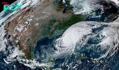
4 Astronauts Return to Earth After Being Delayed by Boeing’s Capsule Trouble and Hurricane Milton
-

 Science1w ago
The Elegance and Awkwardness of NASA’s New Moon Suit, Designed by Axiom and Prada
-

 Science1w ago
SpaceX Launches Its Mega Starship Rocket. This Time, Mechanical Arms Catch It at Landing