Science
Earth from space: Shapeshifting rusty river winds through Madagascar's 'red lands'
Where is it? The Betsiboka River, Madagascar [-15.920729, 46.367102].
What's in the photo? An intricate, rust-colored waterway shaped by mangrove islands.
Who took the photo? An unnamed astronaut onboard the International Space Station.
When was it taken? June 29, 2018.
This striking astronaut photo shows the intense color and intricate shape of Madagascar's Betsiboka River as it meanders through an archipelago of mangrove islands that have helped to stabilize and reshape the waterway as destructive human practices push it to the brink of collapse.
The Betsiboka stretches around 326 miles (525 kilometers) from one of Madagascar's central highlands to Bombetoka Bay on the island nation's northwest coast. As it approaches the sea, the river splits apart, forming a network of braided waterways, known as a delta, as the discolored water is diverted around a series of small islands.
These lemon-shaped islands are made of sediment held together by the deep intertangled roots of mangrove trees. Some of the larger islands have visible erosion features near their center where water has trickled through the stubborn trees, according to NASA's Earth Observatory. Without the roots, the islands would be quickly washed away by the river, which could destabilize the surrounding ecosystem.
The Betsiboka delta is often referred to locally as the "red lands" due to the dark orange hues of the flowing water. This striking color is the result of heavy staining from soil rich in rust-like iron oxides, known as laterite, according to NASA's Earth Observatory.
Related: 12 amazing images of Earth from space

The color of the Betsiboka naturally intensifies when heavy rains from tropical storms wash more laterite from the surrounding land, according to Europe's Copernicus program. However, human activity is also changing the river.
Since 1950, around 40% of Madagascar's forest cover has been destroyed by wildfires, agricultural grazing and "slash and burn" clearances, according to NASA's Earth Observatory. As a result, the Betsiboka now runs across more unstable ground, making it easier for more sediment to be swept away by the river.


Palestra WEEM – Mulheres Médicas e o Poder da Comunicação

Report: Celtic’s Lennon Miller Scouting Mission

Celtic’s Wednesday Night Christmas Tease


Jazz vs Spurs Prediction, Picks, & Odds for Tonight’s NBA Game


-

 Science2d ago
Inside Capitol Hill’s Latest UFO Hearings
-
 Science2d ago
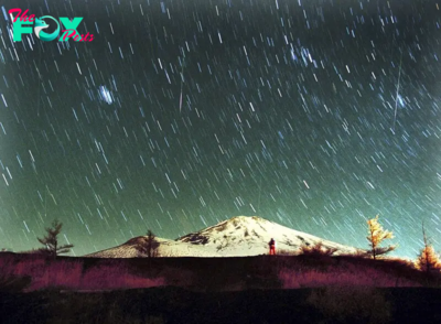
You Won’t Want to Miss the Leonid Meteor Shower. Here’s How and When You Can See It
-

 Science3d ago
Here’s What Trump’s Win Means for NASA
-
 Science6d ago
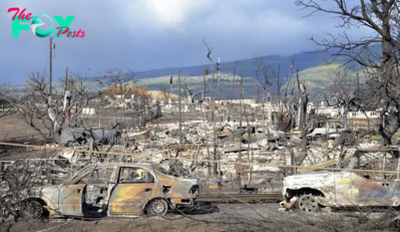
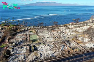
Why Risky Wildfire Zones Have Been Increasing Around the World
-
 Science6d ago
It’s Time to Redefine What a Megafire Is in the Climate Change Era
-

 Science1w ago
4 Astronauts Return to Earth After Being Delayed by Boeing’s Capsule Trouble and Hurricane Milton
-

 Science1w ago
The Elegance and Awkwardness of NASA’s New Moon Suit, Designed by Axiom and Prada
-

 Science1w ago
SpaceX Launches Its Mega Starship Rocket. This Time, Mechanical Arms Catch It at Landing