Science
Earth from space: Green River winds through radioactive 'labyrinth of shadows'
Where is it? The Green River, Utah. [38.60374645, -110.01789258].
What's in the photo? A section of the river that winds through a deep, shadowy canyon.
Who took the photo? An unnamed astronaut on board the International Space Station.
When was it taken? April 22, 2018.
In 2018, an unnamed astronaut on board the International Space Station (ISS) snapped this striking shot of a section of the Green River winding through a steep canyon in Utah. Shadows from the canyon walls give the scene a striking 3D effect when viewed from above.
The Green River is a 730-mile-long (1,175 kilometers) tributary of the Colorado River that runs through Wyoming, Colorado and Utah. The waterway gets its name from the high concentrations of sediments suspended in its deep waters, which give it a green hue.
The section of the river in the photo is located around 25 miles (40 km) north of Canyonlands National Park. This part of the river runs along the bottom of a steep canyon, known as Labyrinth Canyon, which zigzags for around 70 miles (110 km). The canyon walls are around 1,000 feet (300 meters) deep, on average, according to NASA's Earth Observatory.
A standout feature in this image is Bowknot Bend (top left), a 7.5-mile-long (12 km) loop where the river doubles back on itself. At the point where the river runs side by side, the canyon wall has partially crumbled due to erosion on each side, creating a low barrier known as a saddle.
At some point in the next few hundred or thousand years, the saddle will be completely washed away by the river, which will create an oxbow lake — an isolated, crescent-shaped lake that is no longer part of the river, according to NASA's Earth Observatory. When this happens, the new lake could eventually dry out completely if water evaporates from it quicker than rain fills it up.
Related: 12 amazing images of Earth from space

Labyrinth Canyon is part of the Colorado Plateau — a roughly 130,000-square-mile (337,000 square km) area of raised, mostly desert land that spans across the borders of five states. Around 6 million years ago, the plateau started rising due to tectonic activity caused by swelling in Earth's mantle. So far, it has risen by several thousand feet, according to the National Park Service.


Palestra WEEM – Mulheres Médicas e o Poder da Comunicação

Report: Celtic’s Lennon Miller Scouting Mission

Celtic’s Wednesday Night Christmas Tease


Jazz vs Spurs Prediction, Picks, & Odds for Tonight’s NBA Game


-

 Science2d ago
Inside Capitol Hill’s Latest UFO Hearings
-
 Science2d ago
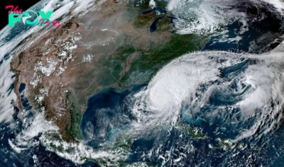
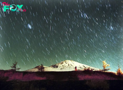
You Won’t Want to Miss the Leonid Meteor Shower. Here’s How and When You Can See It
-

 Science3d ago
Here’s What Trump’s Win Means for NASA
-
 Science6d ago
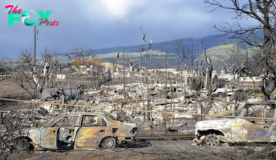
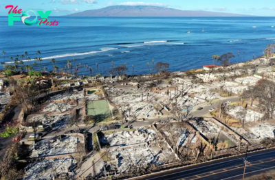
Why Risky Wildfire Zones Have Been Increasing Around the World
-
 Science6d ago
It’s Time to Redefine What a Megafire Is in the Climate Change Era
-

 Science1w ago
4 Astronauts Return to Earth After Being Delayed by Boeing’s Capsule Trouble and Hurricane Milton
-

 Science1w ago
The Elegance and Awkwardness of NASA’s New Moon Suit, Designed by Axiom and Prada
-

 Science1w ago
SpaceX Launches Its Mega Starship Rocket. This Time, Mechanical Arms Catch It at Landing